
Lightning comes and goes in brilliant, terrifying flashes. With powerful enough satellites in orbit, all that static crackling is projected into the world’s skies.
The latest visualization of atmospheric electricity comes from Meteosat Third Generation, a European satellite launched in December. Its cameras can track and record lightning strikes, even the smallest and fastest, day and night, on more than 80 percent of Earth’s surface visible from the satellite’s orbit. It was the first of six such satellites that would eventually track weather around the world.
The European Space Agency released the first batch of images from the Meteosat orbiter last week, revealing lightning flashes over regions of western Europe, Africa and South America. The agency shared images during the satellite’s calibration with its partners before it is fully operational by the end of this year.
The satellite’s Lightning Imager has four cameras, each with five lenses. The cameras can capture a single flash of lightning that lasts as little as 0.6 milliseconds, much faster than the blink of an eye, and can take clear pictures at 1,000 frames per second.
The US National Oceanographic and Atmospheric Administration has been tracking lightning in North and South America since 2017, using the Geostationary Lightning Chart aboard the Geostationary Operational Environmental Satellite, known as GOES. The European system expands lightning detection to regions of Europe, Africa and the Middle East (with overlapping coverage in parts of South America), and provides important technical improvements that should provide a wealth of data for global weather forecasters.
“First, we have better resolution,” said Goya Pastorini, project engineering manager at Leonardo SpA, the aerospace company that developed the imager on Meteosat. “We are able to detect even a single bolt of lightning, while GOES can only detect a group of events. In terms of energy, we can detect weaker lightning strikes.”
Carlo Simoncelli, director of software at Leonardo, said the data from the imaging device would be useful in forecasting the weather. Lightning is associated with tornadoes, and there is a significant increase in lightning remaining within clouds about half an hour before a tornado. Being able to detect this from space, Mr. Simoncelli said, “gives us the ability to early warn about potentially catastrophic events”.
Having the system always on and producing data in all conditions is a huge advantage. “It’s very easy to spot lightning at night in the desert,” said Ms. Pastorini. “But if you look at the reflection of lightning over the ocean or just during the day, it’s much more difficult.”
Steve Goodman, a recently retired senior scientist with the National Oceanic and Atmospheric Administration who has spent the past 10 years working on the geostationary lightning diagram for GOES satellites, noted that the European systems are based on decades-old ideas. And in some far northern latitudes, he said, the cameras’ accuracy will be no better than that of US satellites. But he also said that the greater overall resolution of the European imaging helped detect smaller, weaker lightning.
“They’ve built a very good system,” he said, “and all of their data is going to be shared.”
Whatever system is used, Dr. Goodman said, tracking lightning strikes and its relationship to hurricane intensity has significant benefits for aircraft pilots, climatologists and ordinary citizens.
“Emergency workers should warn people accurately, not too early, because it costs money, and not too late, because it costs lives,” he said.

Elmore Leonard writes for Bjournal, covering news, politics, business, technology, sport, entertainment, and lifestyle. He focuses on clear, reliable reporting and useful information, helping readers stay informed about current events, emerging trends, and stories that matter.


More Stories
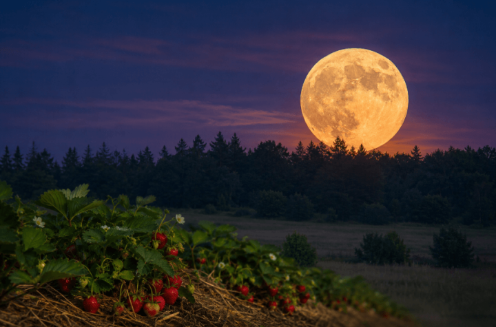
Strawberry Moon Rises Monday Evening: June’s Full Moon Carries Deep Indigenous Roots
Ryan Preece Penalized After Incident With Ty Gibbs at Texas Motor Speedway
Scientists Capture Elusive “Glowing Trees” Phenomenon During Thunderstorms